RELATED VISUALS
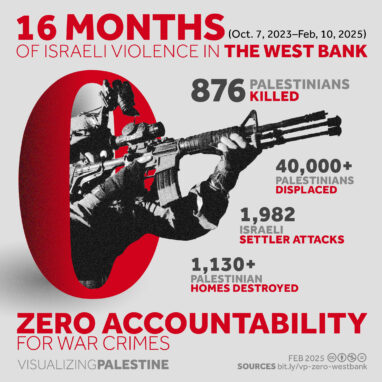
Infographic
Zero Accountability-West Bank
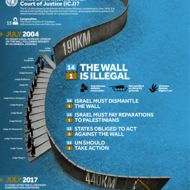
Infographic
Where Law Stands on the Wall
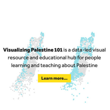
Special Project
Visualizing Palestine 101
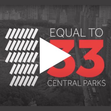
Video
Uprooted (Animation)
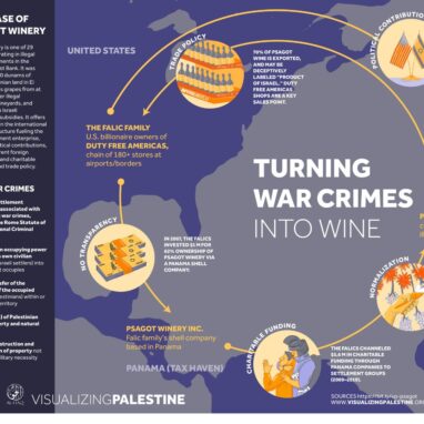
Infographic
Turning War Crimes into Wine
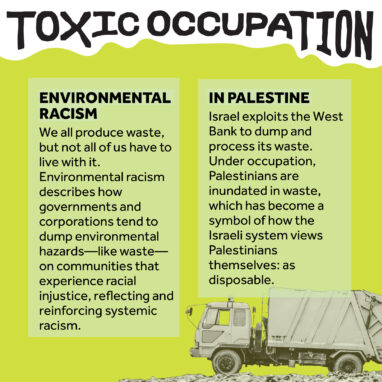
Infographic
Toxic Occupation
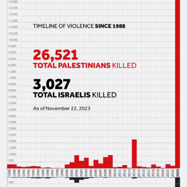
Infographic
Timeline of Violence-October 2023
CONTRIBUTE
Help us continue to create free and accessible visual resources for the Palestinian solidarity movement.